Whenever you go on a trip to visit foreign lands or distant places, remember that they are all someone's home and backyard. - Vera Nazarian
22 January 2020, carrefour northeast of Bounkiling, SENEGAL to Soma, THE GAMBIA, 47.9km
Nyima’s Travellers Lodge 450D including 50D for wifi (R126)
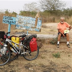
A simple breakfast of coffee and a baguette with butter and jam was included in our hotel price, so we left the Jamm fed and hit the road with just 39km to go to the Gambian border.
Since entering Senegal, we have been gifted with distance markers, a real (and relatively rare) pleasure, especially since my odometre died of sunstroke in Ghana. Without road markers, we have to stop and consult our (erratic) online maps to know (more or less) how far to our destination. Senegal’s distance markers are the old-fashioned cement headstone variety, usually painted red across the top to attract the eye, and placed every km. Three of the four flat sides contain distance information. On the narrow side fronting the road at right angles, is the countdown to Dakar, with a simple D denoting the capital. On the side visible to us, we first counted down to Bignona, a small town but major intersection, then to Senoba on the Gambian border. On the side not visible to us unless we swivelled madly on our saddles, of course, the distance to the biggest town from which we have departed. Sometimes the text has disappeared, sometimes the stone has toppled, sometimes it is hidden in the bush, meaning for brief periods we did not know EXACTLY how far we had still to go. But for most of the last couple of days we have been sped on our way by the quick countdown of a decent road and relatively easy terrain.
The border crossing was simple enough, though we had to visit immigration twice on the Gambian side. We were stamped without fuss or record-taking out of Senegal, then reached three Gambian officials sitting at a desk under a tin roof. They asked where we were headed and when we said we planned to be in Gambia around three days, they said “You need a visa”. We showed them our visa and they said we could enter. I asked them to stamp our passports, not wanting to run into issues with a random police check or difficult border official when leaving Gambia, but they do not stamp passports. Seems most people entering where we did and leaving just 25 or so kms later via Farafenni, are transiting only. For this a slightly different process is required. They told us, if we really wanted an entry stamp, we could stop at immigration in Soma and get one there, which we did.
As usual, we had calculated the exchange rate prior to entering a new country, in this case, The Gambia. (Who on earth put the “The” in The Gambia, and why?*) We calculated the Gambian Dalasi to the South African Rand so we could set our daily budget; and also to the West African Franc (CFA) so we could exchange francs for dalasi if we could not find a Mastercard ATM. Currency Converter had stated that we would get 3.57D to the Rand, and 870D for 10,000CFA. At the border post just 7km from Soma, we were approached by a money changer, who offered us 4,000 for 10,000CFA. This was extremely confusing and we said “no thanks” thinking we needed to do some additional homework before exchanging. In Soma, the first bank we saw advertised an ATM, but did not in fact have one. As the security guard was of the opinion there was no ATM in Soma, I went into the bank to exchange our CFA. There I was offered 400D for 10,000, though the bankman sent me out again, saying I could get 420 or even 425 on the street. At the first shop we tried, we were offered 820D for 10,000CFA, in other words, almost what the Currency Converter rate is and more or less what one would expect to lose in an exchange. Confused…
*The Gambia is the smallest country on the African continent. The first Gambian president, shortly before independence from Britain in 1964, officially sought and gained the consent of the Permanent Committee on Geographical Names (PCGN - an independent UK body), to retain the definitive article, which had been used first by the Portuguese and then by the British. His reasoning? To prevent confusion with the newly-formed Zambia, to which Gambian post often made its way in error. The full name is Republic of The Gambia. For a brief period, this was changed to the Islamic Republic of The Gambia. The Bahamas, too, officially, has a definitive article included in its name.
Once we had cash, we bought Africell sims and data, though, as our lodge turns out to have good wifi, and as we are in-country for a couple of days only, this has turned out to be not entirely necessary.
We are pleased with our hotel, which we found by asking as there are no signs to it. A sizeable room, bathroom and bed, and a decent restaurant on site with a good meal at just 100D each.
For today's route see below photos
For overview route, click on ROUTE tab above…
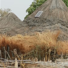
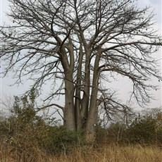
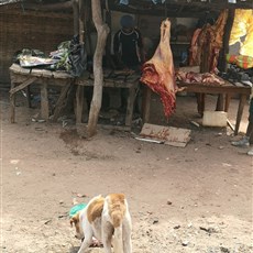
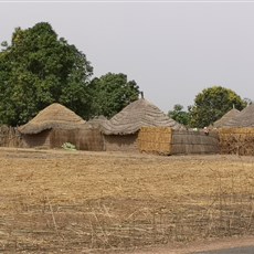
Bounkiling to border
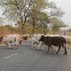
Bounkiling to border
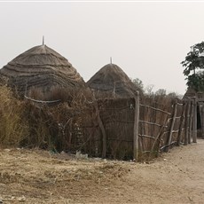
Bounkiling to border
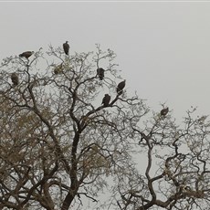
Bounkiling to border
Bounkiling to border
Bounkiling to border
Bounkiling to border
Bounkiling to border